The North Cascades Highway is one of the most scenic drives in Washington State, passing alpine lakes, mountain viewpoints and some incredible hiking trails as it winds through the North Cascades. The route follows Highway 20 through the mountains, with plenty of places to stop along the way, including Diablo Lake, Ross Lake and Washington Pass.
If you’re short on time, this guide covers everything you need to know before driving the North Cascades Highway, including the best stops, where to hike and how I’d recommend spending one day exploring the area.
How Many Days Do You Need in the North Cascades?
If you’re short on time, one day is enough to see some of the main stops along the North Cascades Highway and fit in one hike along the way.
Although if you have more time, I’d recommend spending at least three days exploring the wider North Cascades, particularly if you also want to visit Mount Baker or fit in some of the longer hikes.
We spent two days in the area, with one day around Mount Baker and another driving the North Cascades Highway, and I definitely wish we’d allowed longer. There are still several hikes on my list, including Maple Pass Loop and Cutthroat Pass, that I’d love to go back for.
When to Drive the North Cascades Highway
Summer and early autumn are generally the best times to drive the North Cascades Highway, when the road and higher elevation hiking trails are accessible.
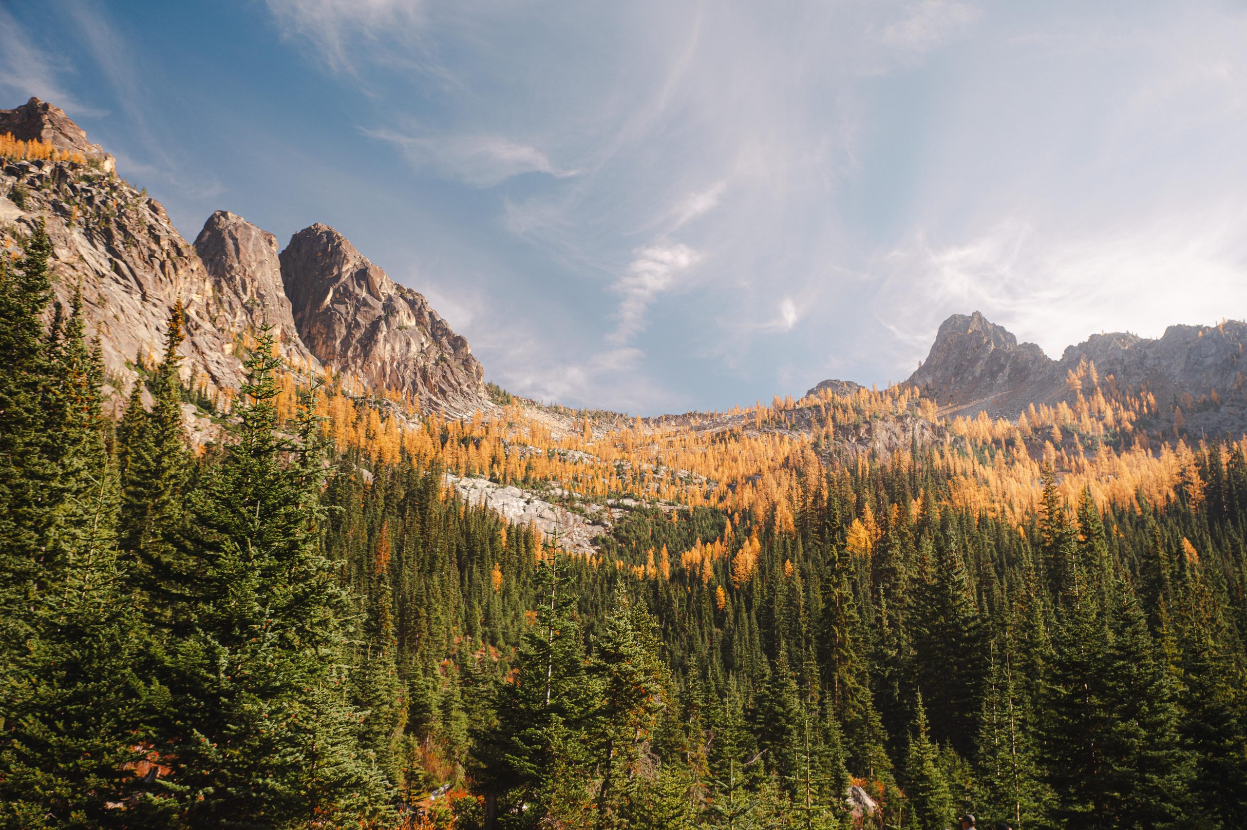
We visited in October specifically to see the golden larch trees and couldn’t have timed our trip better. The cooler weather also made it a great time for hiking, although conditions at higher elevations can change quickly in autumn.
I’d recommend checking the current conditions before your trip, particularly if you’re visiting outside the main summer season, as Highway 20 closes seasonally due to snow and avalanche risk.
How to Get to the North Cascades Highway
You’ll need a car to follow this itinerary, as the main stops along the North Cascades Highway are spread out.
From Seattle, it’s around a 2 hour drive to the western end of this itinerary, while Vancouver is around 3 hours away, depending on the border crossing wait times.
It is possible to drive the North Cascades Highway as a day trip from Seattle, but it makes for a long day. If that’s your plan, start early and consider turning around after Washington Pass rather than continuing on to Mazama or Winthrop.
Where to Stay Along the North Cascades Highway
If you do plan to stay in the area, there are several places to stay along the North Cascades Highway.
For an early start, you could stay near the western end of the highway the night before. Alternatively, Mazama or Winthrop are good options if you’re looking for somewhere to stay after completing this itinerary, with Winthrop offering a larger range of accommodation and places to eat.
Find places to stay along the North Cascades Highway on Booking.com.
North Cascades Highway Map
This itinerary follows the North Cascades Highway from west to east:
North Cascades Visitor Center → Diablo Lake Vista Point → Ross Lake Overlook → Blue Lake → Washington Pass Overlook → Mazama/Winthrop
North Cascades Highway: The Ultimate One-Day Itinerary
Start at the North Cascades Visitor Center
If it’s open during your visit, start your day at the North Cascades Visitor Center.
The Visitor Center has information on current road and trail conditions, along with exhibits about the history of the area. There are also several short walking trails nearby.
With only one day in the area, I wouldn’t spend too long here. Around 20–30 minutes should be plenty before continuing east along the North Cascades Highway.
Stop at Diablo Lake Vista Point
Continue along the North Cascades Highway to Diablo Lake Vista Point.
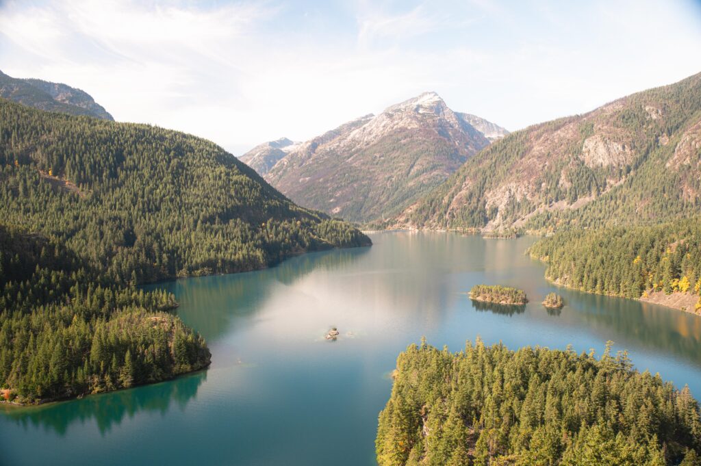
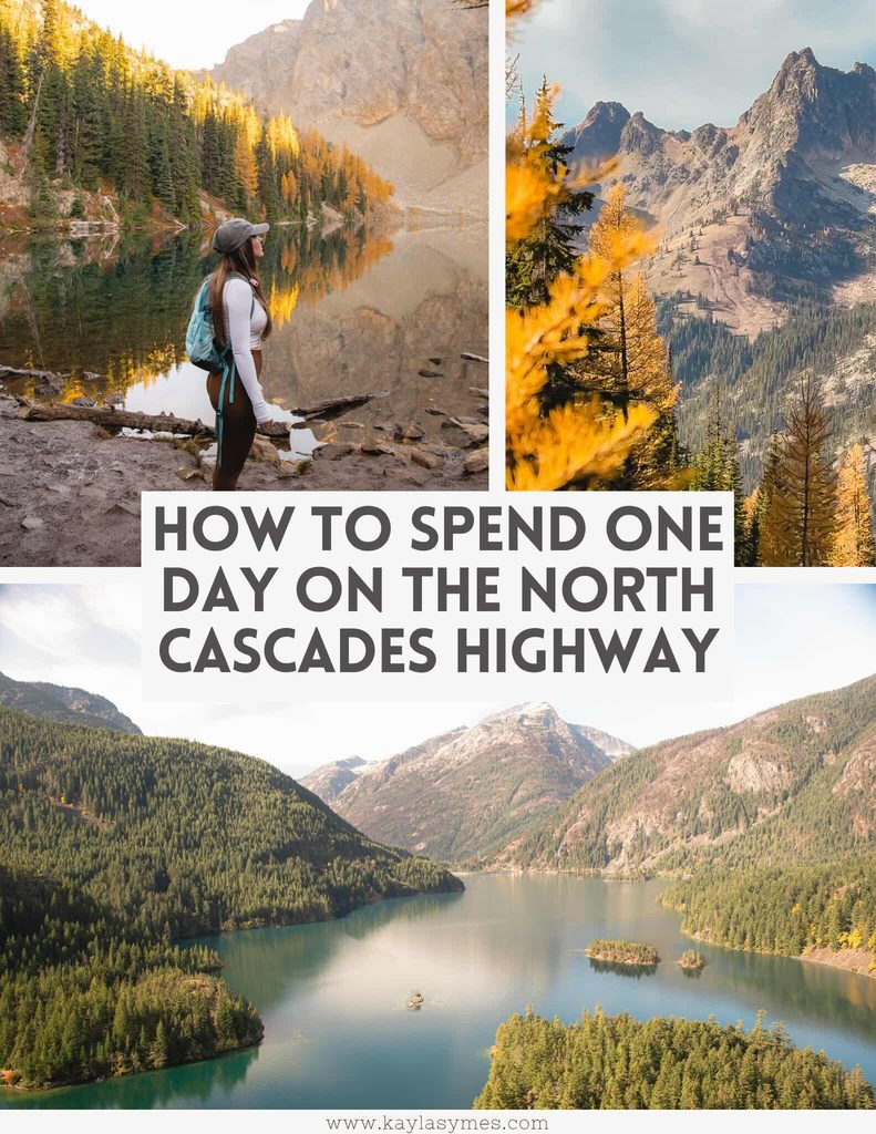
This is one of the easiest scenic stops of the day, with a large parking area directly beside the highway and views overlooking Diablo Lake and the surrounding mountains.
The lake is known for its vivid turquoise water, which comes from fine glacial sediment suspended in the water.
If you’re spending more time in the area, you could also hike the Diablo Lake Trail. The trail is around 12 km return, with views overlooking Diablo Lake along the way.
Visit Ross Lake Overlook
From Diablo Lake, continue east towards Ross Lake Overlook.
This is another quick roadside stop and doesn’t require a hike, so you don’t need to allow much time here. Stop to take in the views across Ross Lake before continuing towards the Blue Lake trailhead.
Hike to Blue Lake
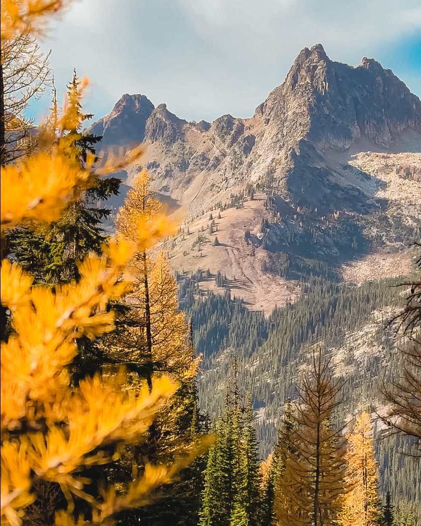
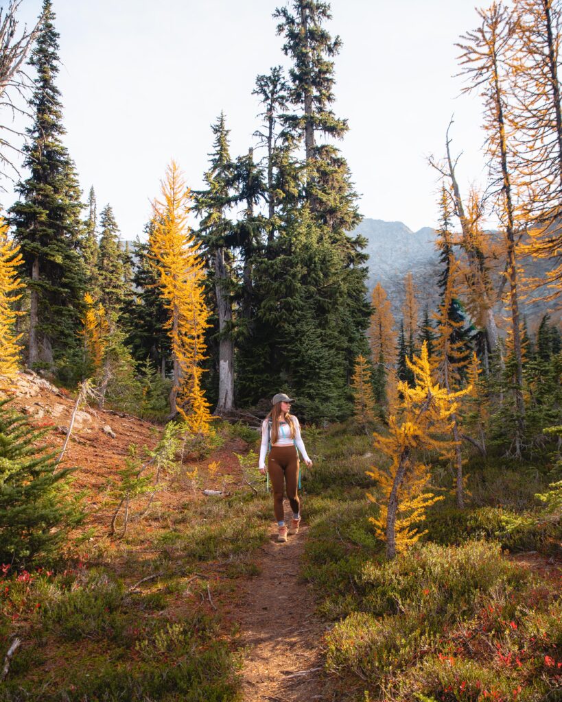
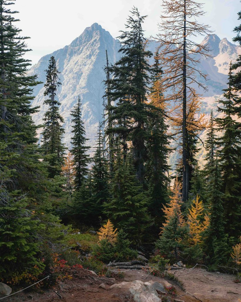
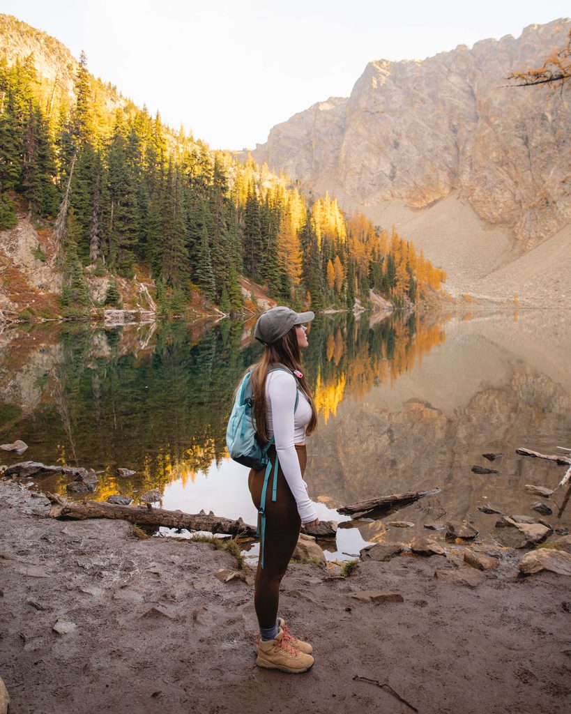
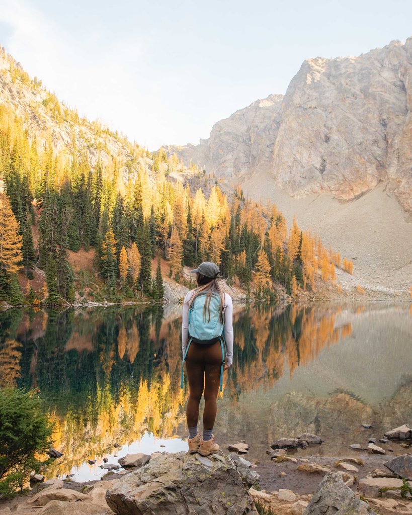
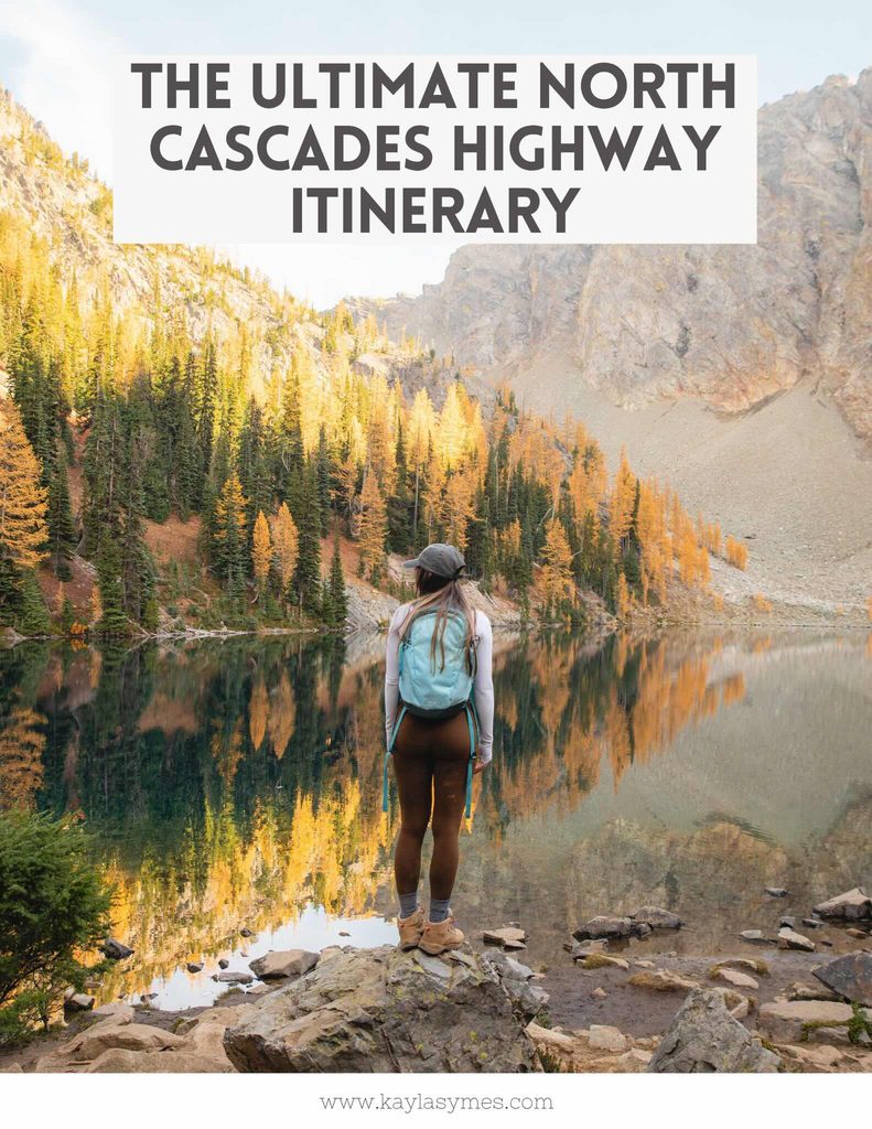
If you only have time for one hike, I’d recommend Blue Lake. It’s a relatively short hike with a steady climb through the forest before opening up around the lake, with mountain views and alpine scenery along the way.
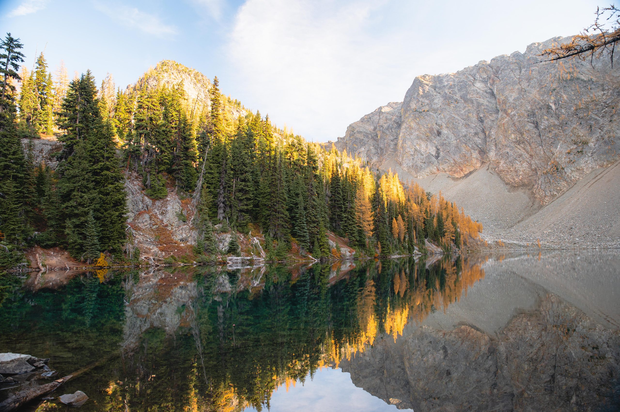
If you’re visiting in autumn, I’d definitely recommend adding this one to your list. The larches were bright gold when we visited and made the trail even more impressive. They only stay this colour for a short period each year, so I’d recommend checking recent trail reports if that’s what you’re hoping to see.
Parking at Blue Lake is along the side of Highway 20 rather than in a designated car park. It was pretty busy when we arrived, so I’d recommend getting there earlier in the day if you can to avoid having to walk too far before and after your hike.
If Blue Lake isn’t for you, there are plenty of other hikes in the area to choose from:
| Trail | Distance | Difficulty | Highlights |
|---|---|---|---|
| Blue Lake | 7.4 km return | Moderate | A relatively short hike through forest and alpine meadows leading to Blue Lake, with golden larches in autumn. |
| Thunder Knob | 5.3 km return | Easy–Moderate | A shorter hike with views overlooking Diablo Lake and the surrounding mountains. |
| Cutthroat Lake | 6.3 km return | Easy–Moderate | A forested trail leading to Cutthroat Lake, with mountain views and golden larches in autumn. |
| Maple Pass Loop | 10.9 km loop | Hard | A popular loop through alpine meadows and mountain passes, with views of the surrounding peaks and lakes. |
| Cutthroat Pass via Cutthroat Lake | 18.7 km return | Hard | A longer hike to Cutthroat Pass with alpine meadows, golden larches and panoramic mountain views. |
Stop at Washington Pass Overlook
After Blue Lake, continue east along Highway 20 to Washington Pass Overlook.
The viewpoint sits near the highest point of the North Cascades Highway and looks across the surrounding peaks and valleys. It’s only a short walk from the parking area, so it’s an easy final scenic stop after your hike.
Continue to Mazama or Winthrop
After Washington Pass, continue east through the mountains towards Mazama.
We stopped at Mazama Store & Bakery while we were here and I’d definitely recommend stopping in. They have coffee, pastries and plenty of food to grab after a day exploring the North Cascades.
If you’re staying overnight, you can either stay around Mazama or continue another 20 minutes or so to Winthrop, where you’ll find more accommodation and places to eat.
Things to Know Before Driving the North Cascades Highway
Check the road conditions before you go. The North Cascades Highway closes seasonally due to snow and avalanche risk, with opening and closing dates varying each year. Check the current road conditions before making the drive.
Check whether you need a recreation pass. There is no entrance fee to drive the North Cascades Highway, but several of the hiking trailheads in this itinerary require a recreation pass. You’ll need either a Northwest Forest Pass or America the Beautiful Pass for Blue Lake, Cutthroat Lake, Cutthroat Pass and Maple Pass Loop.
Download your maps before leaving. Mobile reception can be limited throughout the area, so download your driving and hiking maps before setting off.
Bring food and plenty of water. Services are limited along Highway 20, so don’t rely on being able to buy food along the way.
Fill up with fuel beforehand. There are long stretches without fuel along the North Cascades Highway.
Pack layers. Conditions can change quickly in the mountains, particularly at higher elevations.
Check trail conditions before hiking. Snow can remain at higher elevations well into summer and trail access can change due to weather, fires or maintenance. Check the current trail conditions before setting off.
Leave No Trace. Stay on designated trails, pack out everything you bring with you and follow any current restrictions.
Planning Your Trip?
Find a Hotel
I book almost all of my accommodation through Booking.com, from cosy cabins to city hotels.
Book Tours
Skip the queues by booking popular tours, attractions and experiences before you travel.
Rent a Car
Compare prices from trusted rental companies to find the best deal for your road trip.
Exploring more of the Pacific Northwest?
You might also like:
- Mount Baker Itinerary: How to Spend One Perfect Day
- 7 of the Best Weekend Getaways from Vancouver
- A Guide to Summer in Vancouver
- The Best Hikes Near Vancouver
- Ultimate Two Week Vancouver Island Road Trip
Like this post? Pin it for later!

Leave a Reply